
SUPER cyclone Amphan expected to affect Bhadrak, Balasore, East Medinipur, North & South Parganas, says IMD

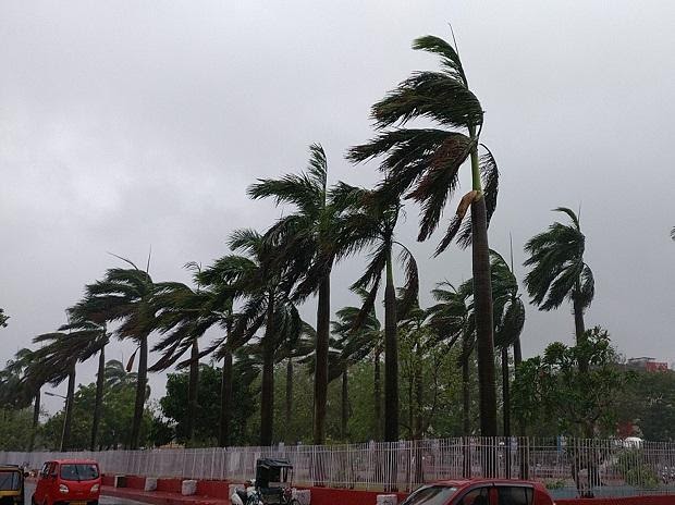
Director General of National Disaster Response Force (NDRF) SN Pradhan has said that cyclone Amphan has now converted into a super cyclone. Speaking to media in New Delhi, Pradhan said, generally, the speed of the super cyclone is 250 kilometer per hour. The super cyclone will make landfall between Digha in West Bengal and Hatia Island of Bangladesh in the Bay of Bengal tomorrow morning or by noon. The conversion of Amphan into a super cyclone is significant because this is only the second super cyclone to arrive in the Bay of Bengal after 1999 Odisha cyclone. The wind speed of this cyclone matches that of the 1999 cyclone. In Odisha, it will pass through the coastal areas of North – Eastern parts of State and Bhadrak and Balasore are expected to be most affected by Amphan. The wind speed at landfall will be between 195 to 200 km, he added. The NDRF under the Union Ministry of Home Affairs confirms that in West Bengal, 19 NDRF teams have been deployed and four teams are on Stand by while in Odisha, 13 NDRF teams are being deployed while 17 are on Standby. These teams are engaged in awareness drive, sensitization and evacuation. The Central Government considers the conversion of Amphan into a super cyclone as a rapid transformation. The government has taken the transformation very seriously. The seriousness of Amphan has been conveyed to states as well and it is expected that states too are making preparations, including evacuation and protection of life and property. India Meteorological Department (IMD) DG, M Mohapatra said, Cyclone Amphan is expected to make the biggest impact in South and North 24 Parganas and East Medinipur district of West Bengal. Prime Minister Modi takes stock of the situation, reviews response preparedness to deal with Amphan. (With courtesy to PTI for the image)